Assessing climate interventions with most impact
Informed decision-making is increasingly challenging in a complex city system faced by climate change threats. By piloting a new tool to assess which climate adaptation solutions are most effective in different neighbourhoods, the City will be able to maximise the benefits of interventions.
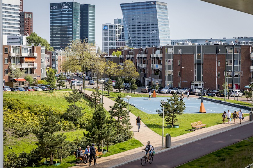
Our city is a complex system prone to the effects of extreme weather events which will worsen under climate change. When we develop major green-blue infrastructure to address challenges such as flooding, we need more insight into the interaction between problems and solutions at neighbourhood, street and building level. With better information we can match interventions to the haracteristics of the area, rather than applying a ‘one size fits all’ approach. This initiative investigates which climate adaptation measures have most impact in different neighbourhoods. We propose to link existing models - like the 3Di model developed by the city to show the impact of heavy flooding- with other resources, such as information on soil characteristics, so that we can develop more insight on each type of intervention. Models will be developed and tested in Erasmusveld and the Central Innovation District. The Climate Adaptation tool will be introduced for the public space development in Laakhavens. Lessons learned from these models can be used to develop a city-wide approach on climate change adaptation. Using this model in the city of The Hague will increase insights on environmental, social and financial impacts of climate adaptation measures, and will give more insight into the dependencies between the city’s systems.
Lead: DSO, PmDH, RTH, Deltares, WUR, NKWK
Partner: Municipality of The Hague: DSB, IbDH, DPZ, HHS, VVE, ROC, HHD, 3Di, DPS, Resilience Center of LDE